


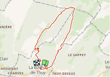

9.5 km | 21 km-effort

User GUIDE


FREE GPS app for hiking
 SityTrail
IGN / Geographical institutes
SityTrail World
The world is yours!
Trail Walking of 19.1 km to be discovered at Auvergne-Rhône-Alpes, Upper Savoy, La Balme-de-Thuy. This trail is proposed by Kargil.
Grand tour entre La Balme de Thuy et les Glières.
A déconseiller par sentier humide.
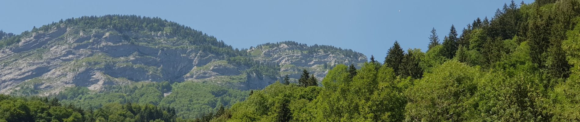
Superbe vue sur La Tournette et les Dents de Lanfon.


Walking

Walking

Walking
Walking
Walking
On foot
Walking
Walking

Walking